
Search Marshall County Property Records
Marshall County has no single master property file. Instead, a chain of records leads you from one answer to the next. An address points to an assessment entry. That entry gives you the owner of record. It also lists the district, map and parcel number, deed reference, and legal description. From there the County Clerk's index shows the recorded conveyance and related filings. The Sheriff's tax account shows whether the bill was paid. The state parcel viewer shows the mapped parcel. Keep that parcel ID and legal description handy as you move between sources.
Pick your starting point. If it is a person or company, use the Owner Name field. That field is in WV Real Estate Assessment Property Search. If it is a street, search by Street Name and compare each result. If you already have the parcel ID, enter its parts or the whole thing. One caution for Marshall County: a postal city alone can point you to the wrong land-book branch. So note the district as well.
- Search the address, owner, or parcel in WV Real Estate Assessment Property Search.
- Save the Full Parcel ID, deed book and page, mailing address, and legal description.
- Use the County Clerk’s IDX to inspect the deed or land-book image.
- Check the Sheriff’s tax account and open the parcel in WV Property Viewer.
- Ask the custodian for a certified copy, correction, or record that is not online.
Three records, three purposes. A recorded deed proves a transfer happened. An assessment card is a tax record, and a GIS shape is only a reference boundary. Marshall County owners should compare all three rather than treat one screen as the final word.
Offices Behind Marshall County Property Records
Each Marshall County office keeps its own slice of the property record. The County Clerk records deeds, deeds of trust, liens, releases, leases, wills, and UCC filings. Appraisements, settlements, military discharges, and other documents go there too. The Assessor handles parcel assessment, property values, mapping forms, and homestead materials. The Sheriff's Tax Division sends bills and accepts payment. It also publishes delinquent lists and runs the tax-lien sale. A court clerk holds case files. City permits and zoning records, meanwhile, stay with that municipality's clerk or building office.
Marshall County Clerk
Courthouse, 600 Seventh Street, Room 106, Moundsville, WV 26041. Call before visiting because a 2026 temporary move was announced.
304-845-1220
Marshall County Assessor
Contact Amanda Lockhart at P.O. Box 554, Moundsville, WV 26041. Map-card copies require an office visit.
304-845-1490
Sheriff’s Tax Division
Tax Office, P.O. Box 648, Moundsville. The tax page lists payment dates, delinquency steps, and the lien sale.
304-843-1400
Searching remotely is a good first pass, not a replacement for the custodian. The County Clerk says all books are scanned and available to view or purchase, and courthouse computers support tax and index research. For certified copies, or for records missing from a public screen, go to the office that holds them.
Marshall County Land-Book Suffixes
The County Clerk's IDX instructions separate Land Books (Town Lots) from Land Books (Tract Land). To find a page, a user picks Image Search, the book year, and a two-digit district suffix. Then they page through the scans. That suffix is a navigation key, not decoration. Moundsville shows up twice in the town-lot list. Clay is suffix 10 and Washington is suffix 11. Pick the wrong one and the book page stays hidden even when your owner or street is correct.
| Land-book set | Local examples | Suffixes to retain |
|---|---|---|
| Town lots | Benwood, Cameron, Glendale, McMechen | 01, 02, 06, 08 |
| Moundsville town lots | Clay and Washington entries | 10 and 11 |
| Other town lots | Wheeling in Sandhill, Washington, Webster | 16, 14, 15 |
| Tract land | Cameron, Clay, Franklin, Liberty, Meade, Sandhill, Union | 03, 04, 05, 07, 09, 12, 13 |
Town-lot code 06 is printed as Glendale. Modern Census naming writes Glen Dale. Code 08 is McMechen. For a town lot, keep the lot and block wording from the deed. For rural land, keep the tract description and district. The County Clerk's scanned-book instructions show the official split.
Read the County Clerk's land-book guide before touching image search. It lays out the town-lot and tract-land path. It also lists the suffixes that divide county geography. The image below sets that local index beside the deed-search instructions.
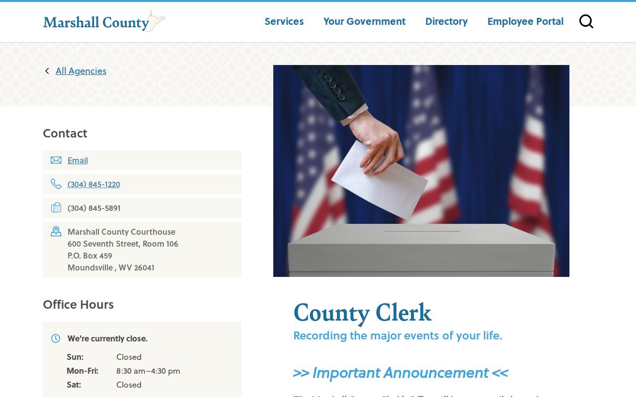
Anyone can view the scanned books online; downloading and printing require an account and payment.
How the Marshall County Search Fields Work
WV Real Estate Assessment Property Search is the broadest remote entry point. It covers Marshall County parcels. Its fields spread across Basic, Appraisal/Sales, Advanced, and Prior Ownership tabs. Nearly every field is optional. A narrow query beats a form full of guesses. Start with the street, capture the parcel. Add a district, owner, or sale range only when it helps.
| Portal field | Format | How it helps |
|---|---|---|
| County, District | Dropdowns | Limit the search to Marshall and its tax district. |
| Owner Name, Street Name | Text | Find a listed owner or parcels along a road. |
| Full Parcel ID, Map Number, Parcel, Sub-Parcel | Text | Match a known assessment identifier. |
| Min/Max land, building, total appraisal | Numeric range | Compare appraisal fields. |
| Sale From/Through, Min/Max Price | Date and number | Filter reported sale history. |
| Mailing Address, Deed Book, Page, Legal Description | Text | Cross-check notice address or recording reference. |
| Flood Hazard, building year, area, acreage | Dropdown and ranges | Narrow by a property attribute. |
The result can display Owner Name, physical address, parcel and GIS IDs, tax class, land use, appraised land, building, and total values, calculated and deeded acres, sale date and price, mailing address, deed reference, legal description, year built, area, structures, and prior ownership. Read all three ownership clues carefully. Owner Name is the roll entry. The mailing address is where notices go. The situs is the property's physical location.
Treat the assessor result as a lead, then confirm the latest deed. The state portal itself warns that the county assessor is the most current assessment source, and that parcel geometry can lag years behind a county's submission of a new boundary. So a missing shape never proves a parcel was never created.
Visit the state assessment search for Marshall County to begin with an owner, street, or parcel. The image below shows the live search categories.
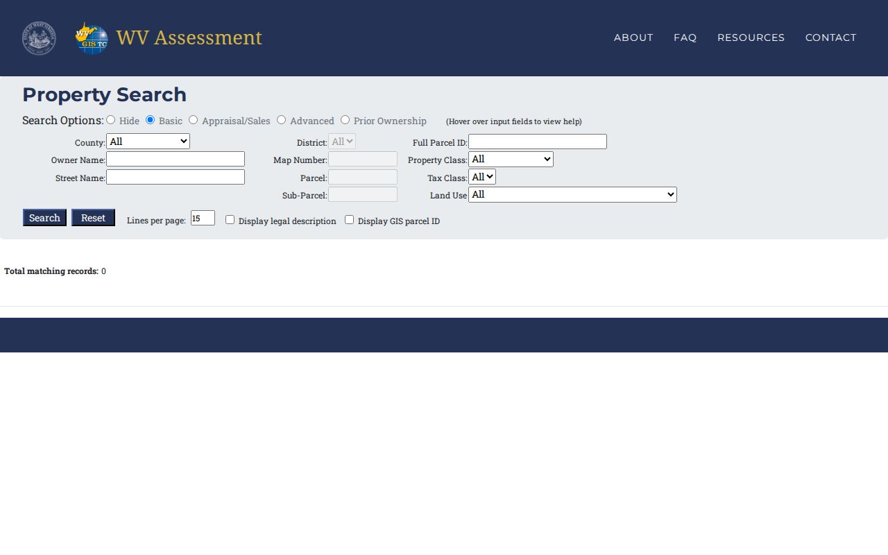
Save the parcel ID and deed reference from your result before you jump to another county or state tool.
Marshall County Property Record Types
Marshall County property records live in several systems at once. Recording, assessment, tax collection, courts, probate, and municipal planning each keep their own files. One parcel can surface in every one of them. The reason differs each time.
A deed proves a transfer happened. A deed of trust secures a debt. A release shows an interest ended. Assessor cards carry tax attributes, and tax tickets show the bill. A parcel map ties these files to the land itself, though a map never settles legal title.
| Record | What it documents | Keeper and access |
|---|---|---|
| Deeds, deeds of trust, liens, releases | Recorded transfers and interests | County Clerk IDX, scanned books, or counter |
| Assessment card and exemptions | Owner, parcel, value, use, map data | Assessor and statewide assessment search |
| Tax bill and delinquency | Amount due, payment status, tax sale path | Sheriff’s Tax Division |
| Plat, tax map, GIS parcel | Lot layout and mapped location | Clerk, Assessor, WV Property Viewer |
| Probate and court files | Estate authority or property dispute | Fiduciary unit and WV court access |
| Building and zoning files | Proposed work or permitted use | Municipality that made the record |
Start with the question. Transfer history belongs in the Marshall County deed records. Bills and appeal deadlines sit on the property-tax page. Map layers and physical location come from parcel maps. City permits hint at work history, but a permit is not a conveyance document.
Marshall County’s Sixty-Percent Assessment Rule
West Virginia assesses real property every year at 60% of true and actual value. The valuation date is July 1. The State Tax Division illustrates the ratio with a $100,000 market-value home, which carries a $60,000 assessment. That ratio applies statewide. It is not a promise that any parcel would sell for its assessed figure, nor that every estimate matches a current offer. In Marshall County, the Assessor keeps the local parcel records. The State Tax Division handles equalization and guidance.
Reviews run on a three-year cycle. Trained assessor staff walk each parcel during the cycle to spot changes, and annual adjustments can follow when new facts move the estimated value. This is mass appraisal. The result is a tax measure, not a one-property sales appraisal. Sales evidence can feed the model. Deed price and assessed figure need not match.
West Virginia's assessment explanation shows the 60% example, while W. Va. Code §11-3-1 sets the annual July 1 basis and the market-value standard behind it.
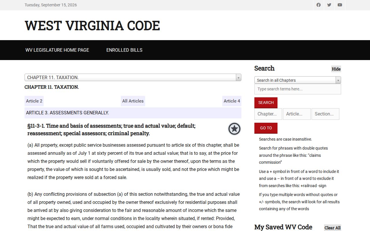
Read the record through the 60% rule first. Then ask the Assessor about the parcel card when a field looks off.
Marshall County Tax Bills and Lien Sales
The Sheriff's Tax Division mails real-property statements every July. They go to the owner's last known mailing address. Ownership, use, and value all key on July 1. First-half charges come due September 1, second-half charges on March 1, and each half earns a 2.5% prompt-payment discount when paid before its date. Delinquency starts October 1 for the first half and April 1 for the second.
May and September bring delinquent lists in local newspapers. Certified notices go out in April. Each November the Sheriff sells tax liens at auction. The sale does not instantly transfer the property or erase an owner's interest. Redemption stays open under the state process. A buyer should trace the lien, notice, redemption, and any later deed rather than treat an auction listing as proof of a new owner of record.
The official Marshall County tax schedule lays out these dates and the Tax Office contact, so a Marshall County tax bill can be checked against the same calendar every year.
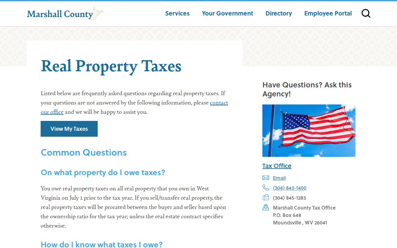
Call the Tax Office at 304-843-1400 for a specific bill or sale listing. The county's tax page publishes no stable lookup link.
Marshall County Parcel Lines and Plats
The WV Property Viewer offers address display and parcel identification. Detail panels, CSV export, and map layers round it out. Zoom to about 1:18,056 or closer before clicking. Some parcels return several stacked IDs with arrows. Check each popup before saving the basic-information panel. The annual parcel layer blends county GIS files with statewide assessment attributes.
The Marshall County Assessor compiled its GIS from recorded plats and deeds. Other public data went in as well, to inventory real property. That makes the map strong for finding a parcel and its neighbors. It does not turn a screen line into a survey. A deed's legal description carries more weight than a tax map. So does a recorded plat. So does a current field survey.
Open the WV Property Viewer to search Marshall County land and identify a parcel.
When a new split is missing, save the map scale and parcel details. Then ask the Assessor or Clerk for the current map card, deed, or plat.
Mailing Address Versus Marshall County Situs
The assessment system separates Street Name, the physical site, from Mailing Address, where a bill or owner notice is sent. The GIS viewer initially displays a physical address and may reveal an owner address after selection. These fields can disagree without an error: a trust, business, absentee owner, or family may use a separate mailing address. A mailing city can also differ from the incorporated municipality and the county tax district.
Marshall County’s ZIP codes are mailing geography. Moundsville is commonly listed as 26041 and Glen Dale as 26038, though no complete ZIP-to-city crosswalk is published. McMechen and Benwood addresses can be blurred by shared northern Ohio Valley postal patterns. Do not use a postal label to decide whether a parcel is inside city limits or which land-book suffix applies.
When an address search misses, try the road name without a house number, a former street spelling, the current owner, and the legal description. Retain the parcel ID and district. That detail lets the Clerk or Assessor tell whether the search crossed a city edge or reached a different lot book.
Moundsville’s Record Names Through Time
Old Moundsville deeds hide under several names. The city's own account runs from Tomlinson settlement in 1771, Elizabethtown lots in 1798, incorporation in 1830, the Moundsville name in 1832, county-seat status in 1835, and consolidation in 1866. A deed from an earlier era may say Elizabethtown. It may instead give a town-lot description or a district name that no longer matches the mailing city.
Marshall County itself formed in 1835. The first courthouse served from 1836 to 1875, and the current one opened in 1876. The county's property records are scanned. Still, the public page does not state the oldest digital index year or promise full coverage of historic deeds. Treat modern IDX as an access route, not proof that no pre-1876 record exists. Search both old and new place names. Then try lot and block. Follow with the former owner. The Marshall County History Museum and Cockayne Farmstead offer context and photographs; certified documents stay with the County Clerk.
City Zoning Meets Marshall County Records
Moundsville files its zoning paper trail twice. The official zoning map and later amendments are certified by City Council and filed with both the city clerk and the Marshall County Clerk. So a municipal zoning change is traceable through a city file and a county filing. The subdivision code uses three steps. Each plat stage leaves its own record. A planning approval is still not a recorded conveyance.
The Moundsville building-permit application asks for a project address, contact details, and a flood-hazard boundary acknowledgement. A permit or exemption guarantees nothing about flooding and creates no City liability. Save permit material beside the assessor card and deed. It can show approved work, but not ownership. Check the zone against the parcel. Read the Moundsville zoning map and code alongside the county parcel, since it is the city's adopted zoning source.
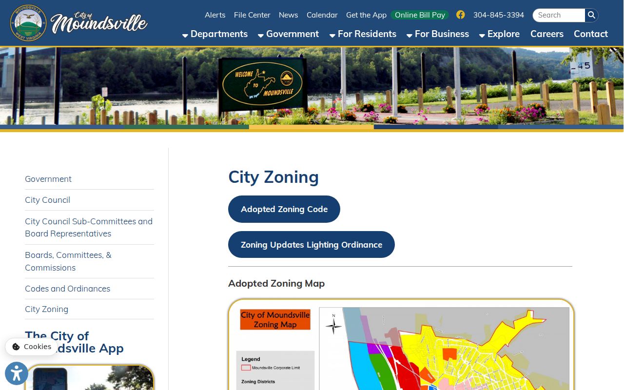
Ask both clerks for the map filing and plat.
Probate Uses Marshall County Legal Descriptions
A transfer after death resists a street-address search. Marshall County's 2026 probate-with-will form lists each parcel by legal description. Oil and gas rights are included. The form points filers to tax tickets or the Assessor and Tax Office. Deed chain, parcel card, estate file, and tax account are linked records, not substitutes.
The Clerk's fiduciary unit handles wills and fiduciaries. It records, probates, and appoints. A will shows intent, and an appointment shows who could act. But the deed out of the estate confirms the transfer. Death certificates stay protected under West Virginia law until the public-opening period or an eligibility rule applies. The forms page demands appointments and complete information. The Moundsville-Marshall County Public Library is a local-history lead for newspapers, obituaries, directories, and photographs. Confirm coverage years with staff.

Use the library for a name or street clue. Then return to a Marshall County deed or probate record for confirmation.
When Marshall County Records Need a Request
Scanned deed books can be viewed or purchased through the County Clerk, though the site does not name the earliest grantor-grantee index year. Viewing and printing are separate steps. A print user creates an account first. From there, the user selects Download & Print, chooses a range of numbers rather than page numbers, enters a memo, adds items to the blue cart, and pays. Office copies cost $1.50 for the first two pages. Each additional page is $1.
When a file is missing online, request the exact record from the office that made it. West Virginia FOIA requests go to the public body that maintains the record. Be specific. Name the parcel or address, the document type, the date range, the format you want, and a way to contact you. The County Clerk can check an older index. The Assessor handles map-card copies, the Sheriff handles tax status, and a city clerk holds permit or zoning records.
The public library and the historical society may supply research leads, but neither is the custodian of a recorded deed. Call the courthouse before travelling. A temporary office move was announced for 2026. Confirm current hours and the correct location through the official office page.
Limits of Marshall County Property Records
Marshall County records capture what was entered into each system. They do not hold every fact about a parcel. Lags are common. The assessment owner can trail a deed. A tax bill may go to a mailing address outside the city, and GIS geometry can sit years behind a split. A permit lists proposed work without proving completion. None of these records alone is a title search or a boundary survey.
Lawful use. Use public records for property research, purchase due diligence, tax review, house history, and civic work. Do not use an owner name or address to stalk, threaten, or harass anyone.
A title concern calls for a qualified title professional and a review of the certified deed. Line disputes need a licensed surveyor. Record errors belong with that record's custodian. Because an unrelated Alabama "Marshall County" fraud-alert page circulates online, confirm any source is an official Marshall County or West Virginia one.