
Marshall County Parcel Map Sources
Marshall County map research relies on a few distinct tools rather than one system. WV Property Viewer is the statewide parcel display. Its identify function returns parcel details when you click the map. The Assessor's site links a local ArcGIS application alongside a separate map-card viewer. The county compiled its GIS inventory from recorded plats. Deeds fed it too. Other public data also contributed. Not every ArcGIS layer gets named on the page. Check the layer list in the live map before assuming a label is available.
| Map source or view | What the research confirms | Useful for |
|---|---|---|
| WV Property Viewer | Parcel identification, physical address, details, map layers | Locate and inspect a selected parcel |
| Marshall County GIS | County parcel inventory based on plats, deeds, and public data | Local map context |
| Assessor map-card viewer | Online viewer; copies require an Assessor office visit | Compare tax map and assessment details |
| CSV export | Export control appears in the statewide viewer | Save a result set for later comparison |
| WV GIS clearinghouse data | Tax-map images and geodatabase products updated yearly | Broader mapping and GIS analysis |
Never assume a flood, zoning, or adjacent-selection layer. Trust only what the viewer's current controls display. Moundsville's zoning map comes from the city, while deed and plat records live with the County Clerk.
Identify a Marshall County Parcel
Start in WV Property Viewer with a known address. You can also pan and zoom to the site. Parcel boundaries read best at a scale of about 1:18,056 or closer. Click the parcel and read the result panel. Stacked polygons sometimes return several Parcel IDs with arrows, so open each basic-information view rather than assuming the first hit is your parcel.
- Open WV Property Viewer and locate the address.
- Zoom to approximately 1:18,056 or closer before identifying the parcel.
- Save the Parcel ID, physical address, acreage, and owner/assessment details shown.
- Use Start Over to clear the selection or Export as CSV to save the result set.
- Compare the map result with the Assessor card, deed, or recorded plat.
The viewer’s image below shows the state parcel controls that support this workflow.
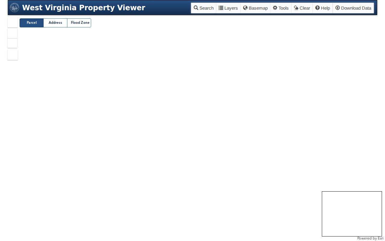
Go to the official viewer. It is the source for current interface details and scale advice, and remember that a saved map image is not a survey.
Marshall County Map Cards and GIS
The Assessor links two distinct Marshall County resources. One is the county's ArcGIS application. The other is a separate map-card viewer. The county describes its GIS as an inventory of real property built from recorded plats, deeds, and other public records and data. That makes it handy for spotting a tax parcel. It orients a property search quickly. The page text does not spell out every ArcGIS layer, so read the live layer list in the map itself. Map-card copies have a catch. The online viewer opens freely, but actual card copies require a visit to the Assessor's office. Call 304-845-1490 and provide the parcel ID, or the district, map, and parcel pieces. A current card can reconcile an assessment record against an older deed. Still, it is no survey. Open the county's own resource with the Marshall County map-card viewer.
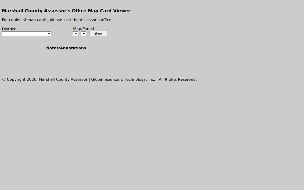
A screen is not a certified map. When an online result offers no copy function, contact the Assessor directly.
Districts Behind Marshall County Parcels
The statewide search splits its results into labeled fields. You get County, District, Full Parcel ID, Map Number, Parcel, and Sub-Parcel. The Clerk's older land books use a related but different geography. Town lots and tract land each carry their own two-digit district suffix. The state publishes no single parcel-ID format for every Marshall County record. Copy the identifier exactly as displayed. Do not try to rebuild it. Moundsville's town lots split between Clay suffix 10 and Washington suffix 11. McMechen uses 08. Benwood is 01. The clerk's list prints Glen Dale as Glendale, suffix 06. Tract-land codes differ: Clay runs 04, Cameron 03, and Sandhill 12. Other districts have their own entries. These codes find old books, not modern parcel numbers. For a legal description, keep the district, map, and parcel identifiers, the lot/block or tract language, and the recorded book and page together. Matching a GIS polygon to a historic town lot may still require the deed or plat.
Town Lots and Marshall County Plats
A town lot and a tract can sit in the same viewer. Their paper trails differ, though. The Clerk separates scanned land books by type. Moundsville's city code layers on preapplication, preliminary-plat, and final-plat review. A city planning plat is not the end of the story. Check the Clerk for a recorded plat or deed too. Plats reveal the lot/block layout. They show neighboring parcels too. The deed's legal description is what ties a conveyance to the land. For a boundary or easement question, compare the plat. Compare the deed, the map card, and field evidence too. A map polygon can flag the likely parcel. It cannot decide a deed conflict. Moundsville's 2014 comprehensive plan noted that subdivision development had not been prevalent in recent years. It also discussed the city's subdivision rules and possible annexation areas. Read it as dated planning context. It is not a current parcel count or a promise about any neighborhood.
Marshall County GIS Refresh and Export
Tax-map products from the WV GIS clearinghouse come as print-ready images or GIS geodatabase files. Updates happen yearly. The state assessment home page credits that cycle to coordination with the State Tax Office. WV Property Viewer adds an Export as CSV option. It works on whatever result set you are viewing. A download is handy for comparing parcels or studying an area. Still, it can reflect the last data conversion. It may not show a fresh deed or boundary change.
Timing matters most after a split or combination. The state portal warns about parcel conversion lag. A new parcel line can take several years to appear. The clock starts after the county submits the change. So the assessment record may list a new parcel. Its shape may lag behind it in the statewide map. Save the current parcel key and the legal description together. Then ask the Assessor for the map card. Or ask the County Clerk for the recorded instrument. See the WV assessment home and yearly GIS-data link for the data products. It also carries the warning about parcel conversion lag.
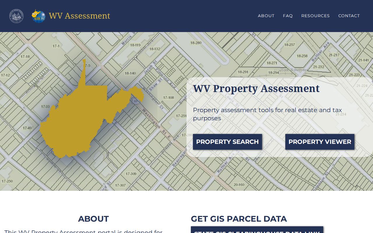
A dated export works well for research notes. Before you rely on it, confirm current status with Marshall County directly.
Address, Situs, and Marshall County Land
Two addresses attach to most parcels. A situs address shows where the land sits today. A mailing address says where the owner gets a tax notice. The GIS viewer leads with the physical location. It reveals more assessment detail once you select a parcel. Deeds and probate files often take a different route. They name land through a legal description such as a lot/block, tract, or mineral interest. Keep these forms side by side. A parcel then becomes far easier to trace through older Marshall County property records.
The county itself spans river towns, hills, older town lots, and rural tract land. A mailing city can cross a municipal edge or hide the true county district. Moundsville carries two lot-book entries. A city label alone cannot settle the historical geography. McMechen, Benwood, and Glen Dale each follow their own town-lot or tract-land path.
When an address search comes up empty, try other angles. Search a street name without the number. Try the owner name, a historic municipality label, or the legal description. Never assume city jurisdiction from a ZIP code.
Marshall County Neighbors on GIS
Start with the subject parcel. Then inspect the adjacent visible polygons and save each parcel identifier you find. The statewide text confirms an identify function after zooming. But it documents no explicit buffer or select-by-location tool. Treat that feature as unavailable unless the current interface shows otherwise. Street Name search can return several assessment rows. GIS helps you judge which polygons actually touch the subject lot.
Distance on screen can deceive. Roads, the Ohio River, rail lines, and narrow rights-of-way often divide two shapes that sit close together. A subdivision plat may lay out lot order more clearly. It can beat a zoomed-out map on lot order. If the viewer stacks parcel IDs, move through each popup option. Confirm the physical address before trusting the owner field.
Limits of Marshall County Parcel Maps
GIS parcels exist for assessment and reference, not surveying. They can lag county submissions. They can omit a new split for years, or draw an approximate shape rather than the deed boundary. The Marshall County Assessor provides map cards through its office. The County Clerk holds the recorded deeds and plats. When a line must go on the ground, call a licensed surveyor.
Not a boundary survey. Use the map to find the likely parcel and records. Before building, fencing, or resolving an ownership line, compare the deed and plat and obtain a professional survey when needed.