
Marshall County Neighbor Sources
A block-level lookup works best when map geometry and assessment records are joined. The WV Property Viewer can identify the subject parcel. It will display neighboring polygons after enough zoom. From there, the assessor search offers a Street Name field. It returns multiple parcels along a road. A recorded plat adds lot order and subdivision context. The deed contributes the property description and any rights-of-way. Together these sources give a fuller block picture than a name-only property search ever could.
| Source | What it can show | Use on a block |
|---|---|---|
| WV Property Viewer | Parcel shapes, IDs, identify details | See which polygons touch or sit nearby |
| WV assessment search | Street Name, owner, mailing, parcel, deed reference | Look up each identified parcel record |
| County map card | Assessment map reference | Cross-check district and tax-map detail |
| Recorded plat or deed | Lot layout and legal description | Resolve apparent adjacency or a narrow strip |
| Municipal zoning map | City land-use geography where published | Compare jurisdiction or zoning boundary |
Two cautions apply. The owner field names the parcel's assessment owner, not necessarily the person living there. And a close polygon is not proof of a shared legal boundary. Open WV Property Viewer to locate the subject parcel. The identify and map controls shown there carry the first step.
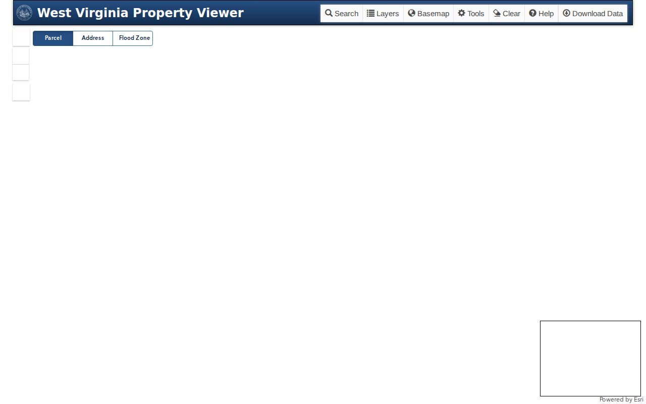
Save each displayed parcel ID before moving to the owner and plat records.
Map a Marshall County Block
Begin with the address whose surrounding parcels matter. Search or pan to that site in the statewide viewer. Then zoom until parcel edges are clear. Click the subject polygon. If the popup lists more than one Parcel ID, use its arrows and inspect each detail panel. Then build a short list of adjoining and nearby IDs. The Street Name search helps retrieve assessor rows. But GIS decides which rows are physically around the subject.
- Find the known address in WV Property Viewer and note its parcel ID.
- Zoom to about 1:18,056 or closer, then identify the subject polygon.
- Record nearby parcel IDs and check every stacked result option.
- Search each ID or the same Street Name in the assessment portal.
- Use the plat or deed when a road, rail, river, or line affects adjacency.
- Parcel
- A mapped and assessed land unit with a county identifier.
- Adjacent
- Touching or sharing a boundary, which should be confirmed from a recorded description when it matters.
- Plat
- A recorded map of lots or tracts in a defined area.
- Buffer
- A GIS distance zone; the county viewer’s public instructions do not confirm such a tool.
Marshall County Street Search for Neighbors
The assessment Street Name field can return multiple parcels on a road or block. That helps when the subject parcel resists map identification. It also helps when the goal is collecting likely owner records. Search with the county selected. Then compare street, district, situs, parcel number, and legal description across rows. Do not treat every row as adjacent. A long street can cross more than one district or municipality. The list may span both sides of a road.
For each candidate, the assessment result may show Owner Name, mailing address, Full Parcel ID, tax class, land use, appraised land, building, and total values, acres, deed book and page, and the legal description. Note the source and the date you accessed it. An owner's mailing address that differs from the situs does not move the parcel itself.
Moundsville keeps separate town-lot suffixes for Clay and Washington. If your block crosses that district division, preserve the suffix. A recorded plat then explains the lot pattern.
Roads, Rail, and River Edges
Marshall County's Ohio River corridor packs together closely spaced city parcels, road rights-of-way, and railroad strips. It also includes land meeting the river edge. Those features can make two mapped shapes look nearer than their deed descriptions allow. A narrow right-of-way can interrupt a shared line. A river parcel may sit behind land that never appears as a typical taxable polygon. Use GIS for orientation and the deed or plat for the legal truth.
For neighbors across a street, decide first whether the question is "nearby" or "adjacent." A parcel on the opposite side may belong to the same block. But it may share no boundary with the subject lot. Note the map scale and any visible road or rail strip. If a new lot is missing, the state viewer says parcel geometry can take several years to arrive. That delay follows county submission.
Marshall County District Boundaries
County districts shape both assessment searches and historic records. A mailing city can hide a tax-district edge. Moundsville is explicitly split into town-lot entries for Clay and Washington. McMechen, Benwood, and Glen Dale use their own town-lot suffixes. Two nearby parcels may carry different district or town labels. That may reflect a boundary or record convention rather than a bad map result.
Keep the district with every parcel number and verify it in the assessment result. The County Clerk's land-book table is a separate historic lookup path. It distinguishes town lots from tract land. Use a plat, deed, and assessor map card. Decide whether the map's adjacent shape matches the legal lot in the record.
City Zoning and Marshall County Parcels
A municipal zoning line can differ from a county assessment boundary. It can also differ from the mailing city. Moundsville publishes its own adopted zoning code and map. Certified zoning-map amendments are filed with both the City Clerk and the Marshall County Clerk, so a local map change can be checked against county land records. Not every Marshall County city shares the same zoning source, though.
Read Moundsville's zoning map and code when a parcel sits within that city. The municipal source compares directly with county GIS.
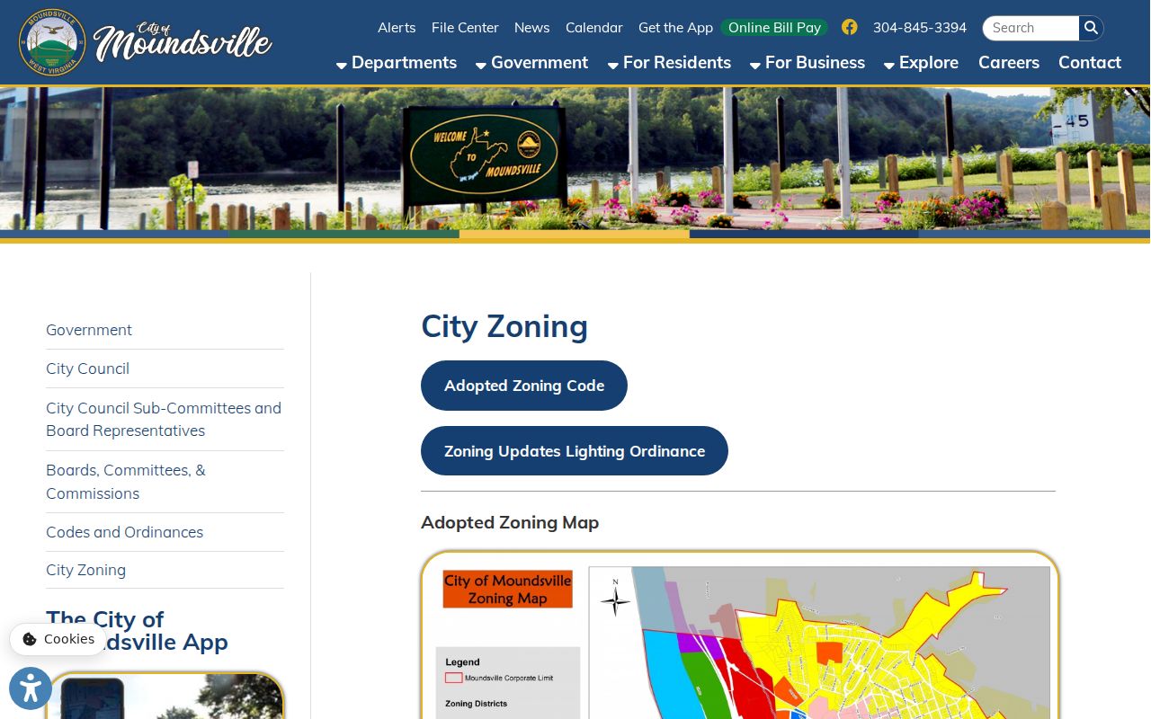
Note: Ask both clerks for a certified map amendment or plat whenever the line affects a parcel decision.
Marshall County Map Cards and Missing Shapes
Marshall County map cards live outside the WV Property Viewer. The viewer can display map-card material. Copies only come from a visit to the Assessor's office. Call 304-845-1490 with the subject or neighboring parcel ID in hand. A recent split may show no shape in the statewide viewer. Then request the card plus the recorded plat or deed. A map card reflects the assessor's parcel relationships. It is not a surveyed corner.
New parcel lines lag. The state itself warns about this. A boundary may take years to reach the viewer after the county submits it. Write down the date, the map scale, the owner of record, and the legal description. Then ask the office whether a new parcel or an adjacent boundary is still pending.
What Marshall County Neighbor Lookup Cannot Show
A parcel lookup names assessed owners. It locates land, too. What it cannot do is show who occupies a Marshall County house. It cannot identify every easement. It cannot settle whether two lots touch under a deed. The public WV map instructions confirm identify and export tools. They do not confirm a buffer, an automatic adjacency list, or a complete layer inventory.
Respect privacy. Use nearby parcel records for boundary work, purchase diligence, civic review, or local history. Do not use owner information to monitor, threaten, or harass anyone.
Confirm a Marshall County Neighbor Parcel
Two map shapes may only look close. Compare their legal descriptions against a recorded plat. One Marshall County parcel may sit across a road or railroad. Note the strip of land between them. Ask a licensed surveyor to locate the boundary for title or construction decisions. A map lookup helps you find the right property records. It cannot answer a legal boundary question on its own.