
Search McMechen Property Records
McMechen property records live at the county level. Start with the WV Real Estate Assessment Property Search. It lets you query by street, owner, or parcel. Once you get a hit, note the Full Parcel ID. Also record the district, both the mailing and situs addresses, and the legal description. The WV Property Viewer then helps you confirm the parcel on a map. Deed references and the County Clerk’s land-book images take the search the rest of the way. They cover ownership history in full. Permits, zoning decisions, and code files are different. Those stay with McMechen’s municipal office. The county does not create local records of that kind.
- Search the street or owner in the statewide assessment portal.
- Save the parcel ID, map/district details, and legal description.
- Test County Clerk town-lot suffix 08 for a McMechen lot.
- Compare the parcel in GIS and check its recorded deed or plat.
- Request any city permit or zoning file directly from the municipality.
The county's property search instructions explain the statewide search fields. What's McMechen-specific is the 08 town-lot code and the tight city-edge geography you carry through the search.
Where McMechen Property Records Sit
Marshall County stores the deeds, assessment records, tax accounts, and parcel maps for McMechen property. City hall keeps the municipal side: building permits, zoning actions, ordinances, and boundary records. McMechen publishes no searchable permit or zoning portal. For that material, ask the municipal clerk or building and zoning official directly. Bring the exact address plus an approximate year.
Marshall County Property Records
County Clerk for recorded instruments; Assessor for parcel and value; Sheriff for tax accounts.
McMechen Permits and Zoning
No public result-search screen, current contact name, office hours, or permit fee schedule was verified. Ask the municipal clerk or building/zoning official directly.
Send any FOIA request to the public body that actually holds the file. That route opens direct access; it does not mean an online permit archive exists.
McMechen Town Lots and Suffix 08
The County Clerk's town-lot suffix 08 is the strongest McMechen-specific land-record clue. The IDX instructions split Town Lots from Tract Land. Then they add a Book # year and a two-digit district suffix. Start from the current Assessor parcel and read its legal description. Pick the town-lot set and test suffix 08 for McMechen. That step converts a modern street address into the county's historical land-book path.
If nothing comes back, try other routes. Use the lot and block wording, a former owner, the legal description, or a nearby municipal label. The book may still exist. McMechen sits beside Benwood and Moundsville. A postal name can muddy the current municipal identity. Remember the suffix is a clue, not a full modern parcel number.
The County Clerk's IDX and suffix instructions provide the source table. That page displays the county book navigation relevant to McMechen.
Note: Keep suffix 08 beside the book year and owner name when tracing an older McMechen lot.
McMechen Neighborhoods in the Records
Public sources name no current McMechen subdivisions and publish no municipal plat index. The record geography stands on its own; subdivision names do not. A map label should never be promoted into an official McMechen neighborhood. The same goes for a neighboring city's plat. Need a subdivision name for a deed search? Ask the city or the County Clerk for the recorded plat.
| Area or record lead | Era | How to use it |
|---|---|---|
| McMechen town lots | Historic land-book series | County Clerk suffix 08; use lot/block and book year |
| Ohio River / Route 2 corridor | Current geographic clue; dates not verified | Check road, parcel, and district rather than mailing city alone |
| Benwood–McMechen service area | Library branch relationship confirmed | Historical lead, not a subdivision boundary |
For any named subdivision, request the recorded plat, a filing reference, or a city planning document. A current parcel map can place the lot. It may not carry the name the original developer used.
McMechen on the Ohio River Corridor
McMechen belongs to the northern Ohio Valley town-lot network. The river, railroad, Route 2, and neighboring municipalities compress the parcel landscape there. One short street can return several parcels. Some carry mailing labels from nearby cities. An adjacent polygon may sit across a road or rail right-of-way. It may not share the property line at all. Use GIS identify to spot candidates, then compare the deed and plat.
The 2020 Census counted 1,697 residents in McMechen. However, no city parcel count, neighborhood value index, or current annexation map is published. Population is context only. It can't stand in for a parcel inventory. For value or ownership, use the county assessment result and check its date.
McMechen and Nearby City Labels
No official incorporation or annexation chronology for McMechen is published. For an edge parcel, line up the current assessment district and the city ordinance or boundary file. Add the recorded plat, the County Clerk filing, and the GIS layer. A postal city or a shared valley address never defines corporate limits. If a historic deed carries a different place name, keep it as a search variant.
Benwood and Moundsville press close, so this check matters even on a short street. Search by Street Name. Compare the situs and owner mailing addresses. Record every district and parcel identifier. When a permit turns on the current city boundary, ask the city for its ordinance or certified map rather than inferring anything from a ZIP code.
McMechen Library and Local History
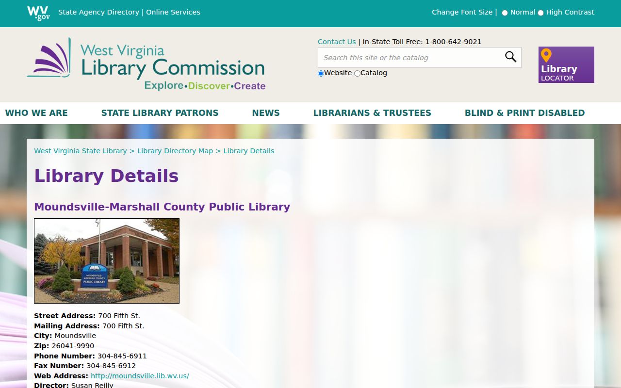
The Moundsville-Marshall County Public Library system runs a branch in McMechen. That gives local history searchers a nearby counter for property records questions. The West Virginia library listing names the system and its central library. It stops short of branch hours and coverage details. Ask staff directly what a given street or year holds.
Newspapers, obituaries, photographs, yearbooks, and city directories can reveal a former owner of record, a street renumbering, or a past building use. Use those finds to spin off fresh search variants. Then confirm any property transfer in County Clerk deed records. A clipping is a clue. It is not a title instrument.
Call the branch before traveling, since schedules and collection coverage are not published online.
McMechen Street Search and Neighbors
Start a street-level property search with the WV assessment tool. Filter by Street Name to list candidate parcels along a McMechen road. Compare situs, district, and parcel IDs side by side. The state GIS map viewer asks you to zoom to roughly 1:18,056 or closer before identifying a parcel. That scale is worth honoring for clean results. Several parcel numbers often stack at one spot. Click through the popup arrows and read every detail panel.
A block list is not an adjacent-owner list until the map proves it. Roads, railroad strips, and municipal edges can sever what looks contiguous. The public instructions describe no buffer tool or automatic adjacent-parcel feature. A parcel shape may be missing. The statewide viewer can trail county parcel submissions by several years. Request the map card or recorded plat instead.
McMechen Permits by Direct Request
McMechen publishes no searchable permit or zoning index. No office name, phone, form, or fee appears on any official page. That is a gap in the public record, not proof the permits do not exist. Ask the current municipal clerk or building and zoning official for the file. Request each piece separately. This means the permit application, site plan, inspection history, floodplain review, zoning decision, and final approval.
Identify the property by current address, owner or applicant, project year, and parcel number. For older work, add any former street name. Include the lot and block, subdivision, or nearby cross street. Where no web portal exists, West Virginia FOIA requests go to the city that created or keeps the record. Confirm current contacts with the municipality first.
McMechen Assessed Value and Tax
McMechen keeps no separate city assessor. Assessment flows through the Marshall County system. The statewide 60 percent assessed-to-market ratio, the July 1 valuation date, and the three-year parcel review cycle all apply. Search the city street in the property records. Copy the land, building, and total appraisal fields plus the sale data. Then check the Sheriff's account for the current tax bill status. No McMechen-only value trend is published.
Never dress a handful of sale records up as an official city index. Any sampled trend needs that label. It should hold the parcel class, year, and value fields constant. Tax charges, exemptions, deed consideration, and assessed value measure different things.
McMechen Deeds and Plat Confirmation
The County Clerk's town-lot suffix 08 is the shortest historic path into McMechen deed records. Pull the latest deed first. It confirms the owner of record and the legal description. To trace backward, hunt the prior grantor in the grantee index. If the description names a lot and block, ask the Clerk for the recorded plat. Ask for its filing reference too. A street search can come up empty. Try the former owner or a neighboring municipal label before assuming no record exists.
Limits of McMechen Property Records
McMechen property records blend Marshall County ownership, value, tax bill, and parcel data. The mix includes whatever the city itself creates. Named subdivisions and annexation dates sit outside the published sources. The same goes for the ZIP crosswalk, a permit portal, and city-only value trends. State those gaps plainly. Ask the custodian for a current answer. A GIS map and a mailing city prove nothing about title or corporate limits.
Lawful use. Use public information for property research, purchase diligence, local history, and civic review. Do not use it to follow, intimidate, or harass anyone.