
Search Moundsville Property Records
County systems come first for Moundsville property records. The WV Real Estate Assessment Property Search works by street, owner, or parcel number. Write down the district, Full Parcel ID, legal description, and deed book and page. That key opens the County Clerk index. It also works in the county parcel viewer. For permits or zoning, contact Moundsville, because city material describes proposed work and land-use review, not ownership.
- Search the current Moundsville street or owner in WV assessment records.
- Copy parcel, district, deed reference, and legal description.
- Check the County Clerk deed or plat and confirm tax status with the Sheriff.
- Identify the mapped parcel and note whether it is in Clay or Washington district.
- Ask the city for a permit, zoning, or subdivision record tied to the same land.
The county property-search walkthrough covers the full portal mechanics. Here the lens is narrower. The Moundsville angle is the town-lot cross-check and the city file, which keeps the county office directory from being duplicated while preserving the local clues that change how an older record turns up.
Where Moundsville Property Records Sit
Marshall County keeps the recorded deed, assessment roll, tax account, and parcel map for Moundsville land. The city holds its own zoning code and map, building-permit application, subdivision rules, ordinances, and planning records. A city permit can explain approved or proposed work. It does not establish title. Confirm a transfer through the county deed. Use the city record to understand the municipal review that may affect the site.
Marshall County Property Records
County Clerk, Assessor, and Sheriff hold the deed, assessment, map, and tax layers for Moundsville parcels.
Moundsville Permits and Zoning
City Building, 800 Sixth Street, Moundsville, WV. City Clerk phone 304-845-3394; office is listed Monday through Friday, 8 a.m. to 4:30 p.m.
The Moundsville permit application asks for the project address and contact fields and carries a flood-hazard acknowledgement. The city document appears in the image below.
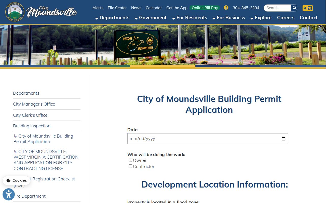
Keep the city file beside the county parcel record.
Moundsville Lots in Clay and Washington
The County Clerk lists Moundsville town lots twice. “Moundsville in Clay” carries suffix 10. “Moundsville in Washington” carries suffix 11. The IDX land-book search also splits Town Lots from Tract Land, a meaningful local distinction. A current Moundsville street or ZIP alone will not tell you which town-lot series holds an older parcel. Start from the Assessor district and the legal description before choosing a suffix.
When an address fails in the Clerk’s image search, test both Moundsville town-lot districts. Check the land-book type. Compare the lot and block wording too. Retain the suffix with the book year, the prior owner, and the image range, since the county guide advises number ranges rather than page numbers for print images.
Moundsville Neighborhoods and Plats
The city publishes no list of recorded subdivision names. Its ON TRAC program does name downtown and the Jefferson Avenue/Strand Theatre district. The historic Grave Creek area adds another landmark. An older town-lot system sits underneath it all. Treat these as search geography and landmark clues, not official subdivision names, until the Clerk or the city supplies a plat.
| Local area or lead | Era known | How it appears in records |
|---|---|---|
| Moundsville in Clay town lots | Historic land-book series | County Clerk town-lot suffix 10 |
| Moundsville in Washington town lots | Historic land-book series | County Clerk town-lot suffix 11 |
| Jefferson Avenue / Strand district | ON TRAC selected late 2024 | Downtown revitalization context; confirm parcel plat separately |
| Grave Creek area | Historic landmark context | Use lot, deed, and parcel records for a specific property |
When a subdivision name matters, ask for the recorded plat. Note its book or filing reference. A city planning approval and a Clerk-recorded plat are related but not interchangeable. Check the county parcel map material first. Locate the current parcel there before requesting the historic plat.
Moundsville, Elizabethtown, and 1866
Moundsville’s record names carry a long settlement story. Tomlinson settlement dates to 1771. Elizabethtown’s lots were laid out in 1798. Moundsville incorporated in 1830, was established in 1832, became the county seat in 1835, and consolidated with Elizabethtown in 1866. So an older deed may say Elizabethtown or use an earlier town label for a lot that now carries a Moundsville address.
Marshall County formed in 1835. Its first courthouse served from 1836 to 1875. The current courthouse opened in 1876. Those dates explain why an old record can look unlike a modern GIS result. They do not establish a records gap or the oldest online index year. The County Clerk’s public instructions give no verified digital cutoff.
The City of Moundsville history page carries this chronology. A careful property search tests both the current and former town names.
Grave Creek and Moundsville Property History
Grave Creek Mound anchors the local landscape. So do the Delf Norona Museum, the Strand Theatre, the former West Virginia Penitentiary, the riverfront, and Grand Vue Park. These landmarks help orient historical property work. They also explain shifting land use. None of them identifies a parcel alone. Start with the current address in the assessment entry, then match the legal description to a deed or plat near the landmark.
The Ohio River valley carries older industrial layers of iron, mills, tanneries, coal, glass, and stamping. A company deed, lease, or right-of-way can follow a different chain than a residential lot. Search the County Clerk for the document type and parties, then use the recorded description to tie it to the current parcel. Local history helps interpret a name. The deed still proves the transaction.
The Marshall County Historical Society operates the History Museum and the Cockayne Farmstead. Its site offers more local history.
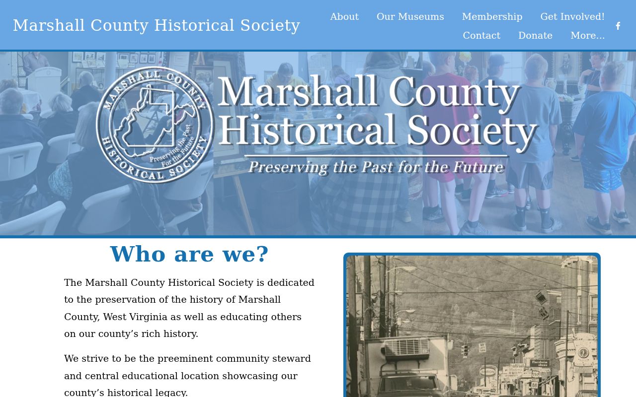
A museum clue about a street or an early owner can sharpen your search, but the Marshall County record settles the question.
Moundsville Zoning Map and Filing
Moundsville publishes its adopted zoning code and map for public review. The code requires City Council to certify the official map and any later rezoning amendments. Those certified copies are filed with both the Moundsville City Clerk and the Marshall County Clerk. That filing step builds a paper trail. It links a city zoning change straight into county property records. An edge parcel may show a use or boundary that looks off. Ask for the certified amendment then. Compare it against the county deed or recorded plat.
The subdivision code runs through preapplication, preliminary-plat, and final-plat stages. A city file may show planning review notes. A recorded plat, by contrast, gives you a document reference inside Marshall County property records. Remember the distinction. A zoning map is not a title record. It is not a legal parcel boundary either.
You can review the Moundsville adopted zoning source on the city's code and map page.
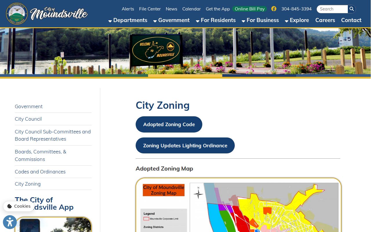
When a question turns on an amendment's filing date, request the filed copy. Ask both the city clerk and the county clerk, since each holds a certified version.
Moundsville Permits and Flood Acknowledgement
The city's building-permit application asks for the project's street address, city, county, state, ZIP, phone, and email. It also carries a flood-hazard boundary acknowledgement. That language says a permit or exemption does not guarantee the site will stay dry. It does not create City liability either. A permit can document an application, proposed work, or a review step. It cannot prove completion or ownership.
The city offers no searchable online permit-result database. Request the application, site plan, inspection history, final approval, and any zoning decision by address or parcel. Know an older street name or a lot-and-block description? Include it, with the approximate year. The city clerk or building office keeps the municipal files. The county Clerk holds the recorded deeds and plats.
Moundsville ZIP and County Parcels
Moundsville sits in ZIP 26041, but postal geography never fixes a parcel's legal location or tax district. The county assessment search keeps Street Name separate from Mailing Address. The viewer, meanwhile, displays a physical address. A tax notice can go to a mailing address outside the city while the situs stays in Moundsville. Keep the Full Parcel ID, district, city name, and both addresses together in one note.
When an address sits near an edge, compare the city zoning boundary, county GIS, assessment district, and recorded plat. No complete USPS ZIP-to-city crosswalk exists for this purpose, so skip the ZIP as a boundary test. For an annexation question, request the ordinance or certified plat. Then match its filing against the county land description.
Moundsville Value and Downtown Context
West Virginia's 60% assessment rule applies in Moundsville. The state's three-year parcel-review cycle applies too. Both work the same way across Marshall County. The state publishes no Moundsville-only value trend series or revaluation impact report. Assessor sale dates, prices, and land/building appraisal fields can add local context. Label any such pull a sample, not an official city index.
In late 2024, the city was picked for a two-year ON TRAC downtown revitalization program. It targets economic vitality and property development. It also covers historic preservation, promotion, and the Jefferson Avenue and Strand Theatre district. That is planning context. It is not a forecast of a parcel's market value. Check any individual assessment with the Assessor. Compare it against recorded transactions in the deed records.
Limits of Moundsville Property Records
Moundsville property records capture county ownership and tax facts. They also cover municipal zoning or permit actions. These records do not prove clear title, a surveyed boundary, or a finished project. City and county records live with separate custodians. They update on different schedules. Use them for diligence, local history, and civic review. Then ask the responsible office for the original file.
Lawful use. Use public property data for legitimate research and property questions. Do not use an owner name or address to stalk, threaten, or harass anyone.